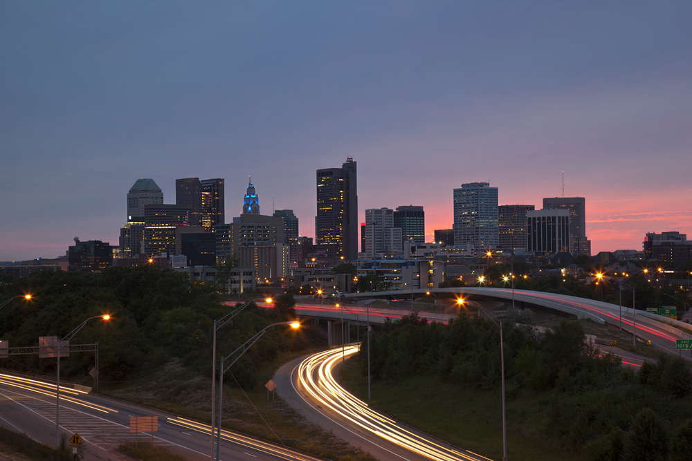
In 1956, the U.S. Federal Aid Highways Act provided $25 billion to create a network of roads across the nation. In today’s money, that’s equivalent to $215 billion.
The act had huge economic and social consequences. It helped boost the economy and create an automobile-centered society. But the new freeways also divided communities, disrupted pedestrian movement and broke social ties. In some notorious cases, freeway building was used to clear working-class Black communities and segregate cities along racial lines.
There have been numerous studies and anecdotal accounts of how the freeways destroyed thriving communities. The effects are still apparent today.
Tackling these issues is an important challenge. But allocating resources is hard in the absence of good evidence that quantifies the magnitude of the problem.
City Limits
Enter Luca Maria Aiello at the IT University of Copenhagen in Denmark and colleagues who have developed a way to measure the association between freeways and the social ties across the communities they pass through. Their work provides an evidence base that could be used to allocate funds to communities that desperately need them.
Aiello and co begin with the idea that geolocated tweets offer a way to measure social ties in specific communities. They map geolocated tweets onto their locations in the 50 largest cities in the U.S. In this way, they can visualize the links in each community.
By themselves, these maps do not provide deep insight into the barrier effect that freeways create. So to delve deeper, the team played a clever trick with the data—they randomized it in a specific way.
They kept constant the number of geolocated tweets and their location. But they randomized where the tweets point to. The modified tweet map should be entirely independent of physical barriers like freeways but be otherwise the same.
Aiello and co then compare the original map with the randomized version to see how the patterns of connections differ. In this way, they can see whether the presence of a freeway is associated with increases or decreases in social connections compared to a random distribution.
Using this data, the team are then able to derive an objective barrier score that quantifies the magnitude of a link between freeway and social ties.
An important question is whether the results reveal a real barrier effect or just an artifact of the approach. So Aiello and co test the validity of their method in three ways. First, they look at the barrier effect associated with smaller roads. These also disrupt social ties but on a much smaller scale, as expected if the approach is valid.
The team also randomize the routes of freeways and recalculate their barrier effects to see if there is some other property of freeways that produces a barrier effect. For example, freeways are shorter in total length compared to other street types so this might artificially raise the barrier score. But randomizing the routes causes the barrier effects to disappear, as expected.
Finally, the team reproduce the same results with another social network called Gowalla, suggesting that both networks reflect the same underlying pattern.
The results reveal just how deep the effects of freeway building have been. “At the unprecedented granularity of individual social ties, we show that urban highways are associated with decreased social connectivity,” they say. “This barrier effect is especially strong for short distances and consistent with historical cases of highways that were built to purposefully disrupt or isolate Black neighborhoods.”
Rebuilding Links
The team examine in particular highways associated with racial segregation. “Strikingly, for all case studies, highways that are historically associated with racial segregation also display high Barrier Scores,” they say.
Cities with the highest barrier scores include Cleveland, Milwaukee, and Orlando. “All three have an abundant history of racial segregation by means of infrastructure,” they say.
Aiello and co also look at cities where freeways were deliberately driven through Black neighborhoods to disrupt them or at least prevent disruption to white neighborhoods. This had the effect of dividing neighborhoods themselves, rather than dividing cities on racial lines. Examples include Columbus Ohio, Richmond Virginia and Nashville, Tennessee and the freeways here also have significant barrier scores.
“These findings add another piece of evidence consistent with the established concept that urban highways in the US have a strong relation with government-backed racial segregation,” say Aiello and co.
One limitation of a study like this is that it can reveal an effect but not the cause. “It is impossible to determine how thinned-out social ties across a highway section already were before its construction, say because of an existing racial divide,” they say. So it is not possible to say by how much a highway changed social ties without studies examining its effect over time, for example with before and after studies.
Nevertheless, this is powerful work. “Within the historical context, our results paint a clear picture,” say the researchers.
This is a picture that could help repair the damage to society, say Aiello and co: “Our research contributes to a more careful, evidence-based consideration of the social fabric in urban planning.”
Ref: Urban highways are barriers to social ties : arxiv.org/abs/2404.11596

